|
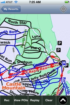
Castle Mountain(AB) trail map is available as part of our USA/Canada Ski App. It is supported on iPhone / iPad, Android, Windows 8 Phone and Blackberry.
Castle Mountain is a ski resort located in the Westcastle Valley of southwest Alberta, Canada in the Rocky Mountains. It is approximately 270 kilometres (170 mi) from Calgary and the Calgary Internat...(From Wikipedia page of Castle Mountain(AB) Ski Resort).
Want to know what others are saying about our app? Go here to see our reviews and coverage. This app is available as part of USA/Canada Ski App package to suit your skiing needs. Have more questions about the Ski App? Ask us.
|
 Castle Mountain(AB): Gps Ski Maps - iPhone Ski App |
||||||||||||||||||||||||||||||||
Castle Mountain(AB) users
| Ski Resort | Type | Info | Date |
|---|---|---|---|
| Castle Mountain(AB) | Track | 6 runs, max 15.5 m/s, avg 3.83 m/s, 11 green, 14 blue, 4 black, Tracked on App | Monday, January 19th, 2015 |